We are happy to announce our new software project. The working title of the software under development is Made – Map and Annotation Display Environment (BTW: for those who understand Finnish: we also have software products called Hauki and Kuha).

– click for larger image –
Made software is primary developed for browsing and studying images of cultural heritage objects, such as historical maps, but I see a lot of other kind of learning uses for the software. In a way Made is a web-based collaborative and visual learning tool.
In Made there are some similarities with the Google maps and the MSN Virtual Earth. And yes, we are happy to get some ideas from these products to the design of Made. On the other hand, the basic idea behind Made is very different from that in the Google’s and MSN’s maps.
Made is a platform for a community to add their own content to maps or to some other images. The content in the map/image in Made can be whatever the people want in to be. Behind the links that are included to the annotations people can have images, video clips, audio clips, stories, etc.

– click for larger image –
Also the image on which the content will be attached can be whatever, large and high-resolution, image. When uploaded to Made the software processes the image and makes it possible to zoom in/out, to add annotations in it, search the annotations, etc.
There is also RSS feed from the annotations added to the map/images. So, when someone adds a new annotation to the map you will automatically get info about it in your RSS reader and the link in the feed leads straight to the annotation in the map.
We are also working on to include tags (folksonomies) to the annotations. Then people can very easily categorize their content in the map/image. The possibility to give a colour for a tag would be nice in this kind of visual applications. Then you could see all the annotations related to some tag straight from the map view.
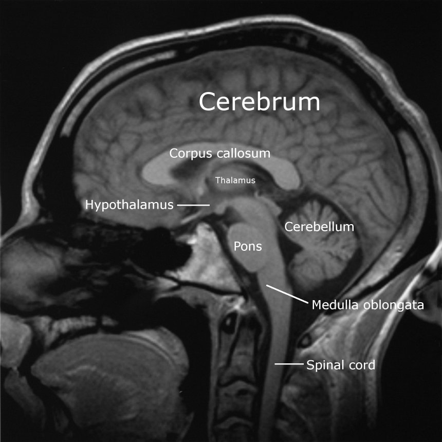
From the learning perspective I see it very exciting that with Made a community can build up their own knowledge bases where knowledge is spatially located. The “background image” used in it can be a map, but also a diagram of a human brain, timeline, image of a piece of art, or whatever the knowledge base is related to. Think this in the context of collaborative learning as meaning making!
And one day – I hope soon – Made will be also integrated to Fle3’s Knowledge Building tool. This means that in the future the knowledge building discourse with Fle3 will take place on top of images and you can drag and drop the notes in there. This is something I have been dreaming about for a long, long time.
Made is a Zope product, written in Python and will be released under GPL. We expect to release the version 1.0 in thee or four weeks. We will then set-up a developer web site for the project, too. The source code is already available in our Subversion Server.
If you are interested in to work with us in the development of Made, drop us an email. Or just write your feedback and idea as a comment to this blog.
Made is developed by two research groups of the Media Lab in Helsinki. The Learning Environments group and the Systems of Representation group.
